
AS02 Reconnaissance UAV
An upgraded version in NST's reconnaissance UAV line, designed for missions with higher requirements for flight time, operating range and observation payload capacity.
Highlights
What sets it apart.
Extended flight time and operating radius compared with the AS01
Can carry a wider range of observation sensor packages to suit the mission
Maintains a stable link at long range
Compatible with the same ground control station across the product line
Overview
AS02 Reconnaissance UAV
Positioning within the product line
The AS02 inherits the control architecture and ground station of the AS01, and focuses on extending the parameters that determine mission scope: flight time, transmission range and observation payload. Sharing the same control station allows organisations already operating the AS01 to move to the AS02 without retraining from scratch.
When to choose the AS02 over the AS01
- Missions that require continuous target tracking over long periods
- Surveillance areas that stretch beyond the operating radius of the AS01
- Requirements to carry heavier sensor packages or several types of sensor at once
Legal and operational notes
As with the AS01, operating the AS02 must comply with regulations on flight permits and airspace management. The specific configuration is determined after the mission scenario has been agreed with the operator.
Specifications
Technical specifications.
- Airframe configuration
- To be updated
- Maximum flight time
- To be updated
- Operating radius
- To be updated
- Service ceiling
- To be updated
- Payload
- To be updated
- Supported sensor packages
- To be updated
- Permissible wind conditions
- To be updated
- Data link
- To be updated
Detailed specifications are provided in the official technical documentation. Call +84 912 211 467 for the full version.
Use cases
Where it is deployed.
- Reconnaissance of wide areas, border lines and coastal waters
- Monitoring of extended critical infrastructure: power lines, pipelines, dykes
- Missions requiring prolonged target tracking
Same product group
Aerial systems
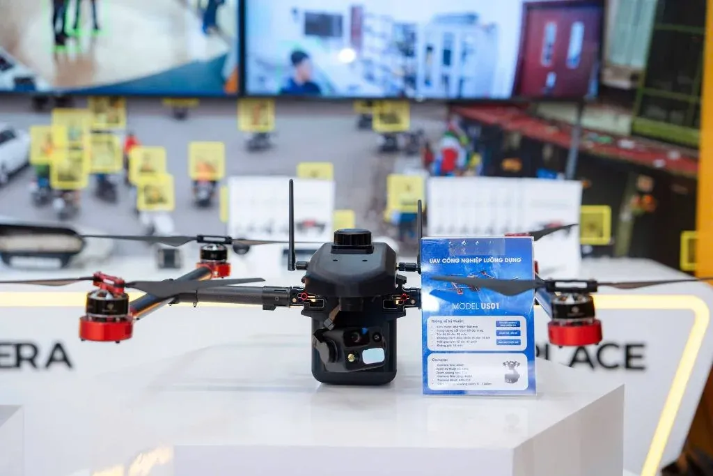
Low-Altitude Multi-Role UAV
A tactical low-altitude aerial reconnaissance solution — helping ground forces gain an overall view, patrol borders, carry out search and rescue and keep track of situations in real time.
View detailsAS01 Reconnaissance UAV
An unmanned aerial platform for reconnaissance and aerial image collection in patrol, area surveillance and search and rescue missions.
View detailsContact
Need a solution for your organisation?
NST’s engineering team is ready to discuss your operational requirements, integration approach and deployment conditions.